Harnessing data and promoting participation
Over at Singapore hub, exciting new developments are shaping up around ur-scape, an open-source geospatial planning support tool developed at the Agropolitan Territories module. ur-scape is an interactive GIS planning tool, enabling visualisation and analysis of datasets with different sources, scales, and formats to assist decision-makers in rapidly-urbanising regions.
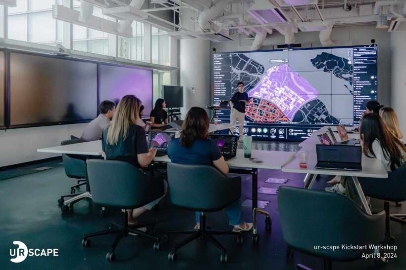
ur-scape studio workshops
In April, the team conducted an internal workshop featuring participants from across the SEC, introducing the tool and discussing potentials for collaboration across programmes.
This workshop also doubled as a pilot test for a training programme with stakeholders as part of the project “Integrated Urban Planning for Livability and Cultural Economy in Rajasthan, India” – a transformation research and capacity-building project funded by the Asian Development Bank.
Our first workshop received a strong response, and we will be conducting another workshop on how to import your own data into ur-scape on the 13th of May. Please sign up here: tinyurl.com/urscapeimport
Future of ur-scape
In parallel, we are moving ahead with the continued development of the ur-scape tool. This month, we will be launching a new website, including improved documentation and online courses, which we will share in the coming weeks.
We are also exploring possibilities for new features and hope to co-create them with the rest of the FCL-G community. How might a rapid GIS tool help you in conducting or translating your own research? The possibilities are wide open – reach out to the team at ur-scape@sec.ethz.ch!
2024