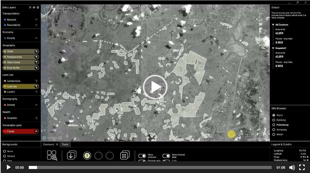
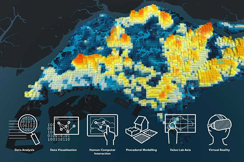
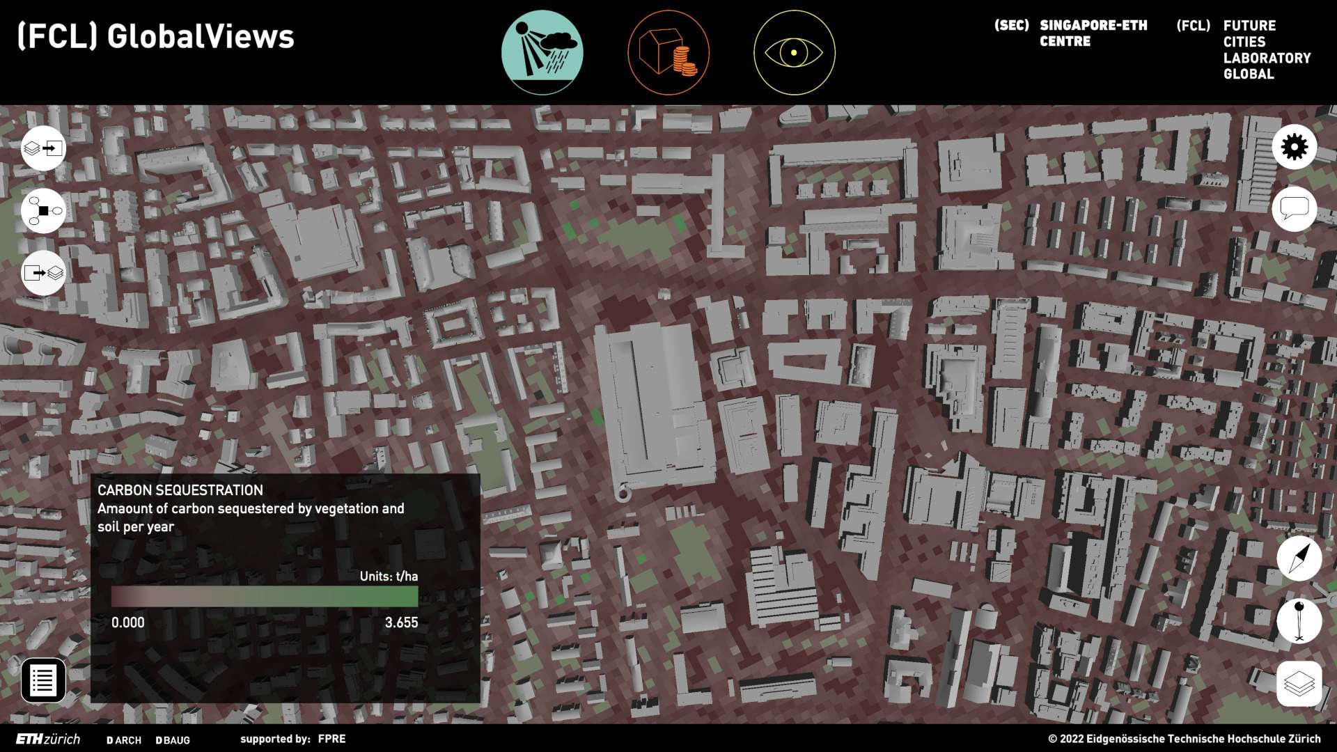
ur-scape is a visual and interactive planning support tool. It integrates data at multiple scales to support efforts to make more sustainable and resilient cities and regions. It is designed for rapidly urbanising areas where data is often difficult to access and uneven in quality, and where development needs are especially urgent and challenging.
ur-scape was developed by the Urban-Rural Systems (URS) team at Future Cities Laboratory (FCL), and is supported by the Asian Development Bank (ADB) and the Swiss Secretariat for Economic Affairs (SECO). Pilot implementation of the ur-scape tool is supported by the municipal planning authorities of the city of Bandung, the Indonesian Ministry of Agrarian Affairs and Spatial Planning (MASP), and the Bauhaus Weimar University. Further piloting exercises will be conducted in the cities of Palembang and Makassar.
See our video here: vimeo.com/447848623